Archive Record
Images
Additional Images [10]
Metadata
Object Identification Number |
1993.052.001 |
Object Name |
Map |
Scope / Description |
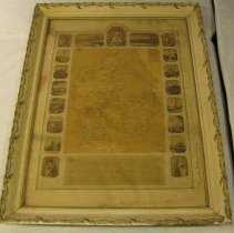
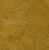
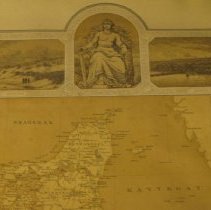
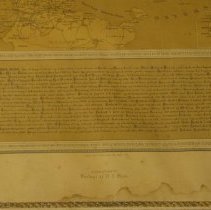
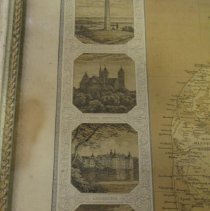
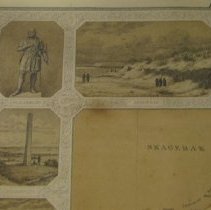
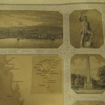
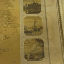
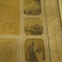
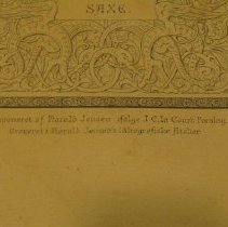
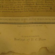
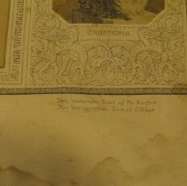
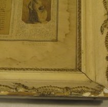
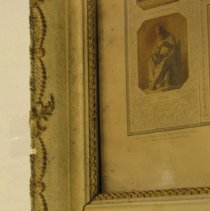
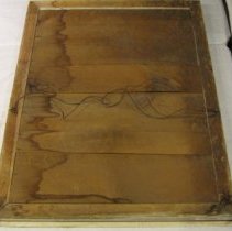
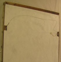
Late nineteenth/early twentieth century map of Denmark on cream colored paper with brown tones and black ink. The map is centered on the paper and has insets on the viewer's right edge of FÆR ØERNE at top and BORNHOLM at the bottom. Above the map at center is a portrait of a robed man seated on a throne with a sword in his right hand. Below the map is an eighteen line paragraph of history regarding the country of Denmark. Bordering the map are depictions of locations and monuments in Denmark including SAXE, VESTERHAV, LYKSBORG, DANEVIRKE, DYBBØL, FREDERIKSBORG, and MONS KLINT. There are four sections of maker's information below the image including the largest text at center, "KJØBENHAVN/Forlagt af N.C. Rom." The map is housed in a large wood frame which angles outward and up to a raised exterior perimeter. There is a decorative molding which is painted gold along both the interior and exterior perimeter. The rest of the frame is painted a cream color. On the reverse side the backboard is composed of three planks of wood. 34.5W x 26.5L x 2.5D Provenance: Late nineteenth to early twentieth century map of Denmark. It is housed in a decorative wood frame. The artifact was purchased at an auction in Kansas City, Missouri. |
Language of Material |
Danish |
Search Terms |
FÆR ØERNE BORNHOLM Denmark map monuments SAXE VESTERHAV LYKSBORG DANEVIRKE DYBBØL FREDERIKSBORG MONS KLINT KJØBENHAVN Forlagt af N.C. Rom throne sword statute |
Date Received by Museum |
1993 |
Images |
141\1993052001.JPG |
Accession number |
1993.052 |